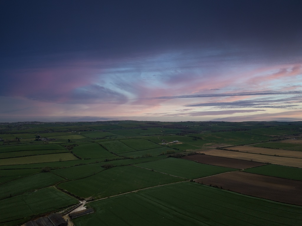
WHEN AN ANIMALIS MISSING,SECONDS COUNT.
Airframe deploys thermal drone technology and expert pilots to locate missing animals across any terrain, day or night. From farm livestock and family pets to non dangerous wildlife and conservation species, we provide rapid aerial search coverage when conventional methods have reached their limits.
THERMAL VISION.EXPERT PILOTS.ANY TERRAIN.ANY ANIMAL.
When an animal goes missing, whether it is farm livestock, a family pet, a non dangerous exotic animal, or a protected wildlife species, the chances of recovery fall with every hour that passes. Airframe provides aerial search and recovery support using thermal imaging drones capable of detecting body heat through dense cover, in low light, and across terrain that ground search teams cannot efficiently cover on foot.
Our pilots hold CAA commercial certifications and are trained to operate in time-sensitive environments. We work alongside your team, your land manager, or your rescue organisation to coordinate search zones, direct ground teams, and maximise coverage in the shortest possible time.
What We Can Find
Our Search & Rescue Services
Every search is different. Our capability covers a wide range of animal types, environments, and client situations — from urgent same-day deployments to planned monitoring programmes across large estates and conservation areas.
LIVESTOCK SEARCH & RECOVERY
Covering large acreages quickly is beyond the reach of ground teams working alone. We deploy thermal drones to sweep fields, hedgerows, and wooded areas to locate missing cattle, sheep, horses, pigs, or poultry — day or night, with or without existing tags or trackers.
PET & COMPANION ANIMAL SEARCH
Lost dogs, cats, and other companion animals are often found in cover that visual ground searches miss entirely. Our thermal sensors detect body heat through vegetation, under vehicles, and in low light urban environments, enabling faster, more targeted recovery than ground only efforts.
ZOO & COLLECTION ANIMAL LOCATION
Wildlife parks, zoos, and private animal collections sometimes face the challenge of a displaced or missing non dangerous animal. We provide discreet aerial search support to locate escaped animals, reptiles, mammals, and other non dangerous species, working directly with your team before the situation escalates further.
WILDLIFE & CONSERVATION MONITORING
For charities, conservation organisations, and estate managers, we provide planned aerial monitoring of protected or vulnerable species across large land areas. Survey routes, thermal population counts, and habitat assessment imagery — delivered to your team as usable data.
INJURED OR DISTRESSED ANIMAL LOCATION
Where an animal is believed to be injured and stationary, thermal detection is highly effective — identifying heat signatures in dense cover, on steep ground, or in locations inaccessible to ground rescue teams. We locate the animal and relay precise GPS coordinates to your team on the ground.
EMERGENCY RAPID DEPLOYMENT
For situations where time is critical, we offer priority emergency assessment and deployment. Contact us with your situation and we will assess availability and mobilise as quickly as operationally possible. Same-day deployment is available within two hours' drive of Basingstoke, with next-day deployment across our extended coverage zone.
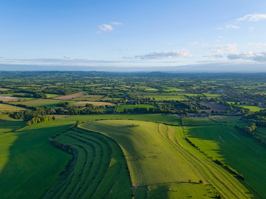
Capability
How Drone Thermal Search Works
Thermal imaging detects body heat rather than reflected light. This makes it effective in conditions where standard cameras and visual searches fail entirely: darkness, dense vegetation, and wide open terrain where a manual sweep takes hours.
RAPID SEARCH ZONE MAPPING
The affected area is divided into search zones based on last known position, terrain type, and animal behaviour. Our pilot plans systematic sweep routes that maximise thermal coverage in minimum time, ensuring no area is missed.
THERMAL DETECTION IN REAL TIME
The DJI Matrice 4T carries a thermal camera capable of detecting animal body heat at significant range. Our pilot monitors the thermal feed live and flags any heat signatures that match the target animal size and heat profile.
GPS COORDINATE RELAY
When a heat signature is confirmed, precise GPS coordinates are relayed directly to your ground team. This removes the guesswork and gets people to exactly the right location, without delay.
VISUAL CONFIRMATION & HANDOVER
Once located, our pilot maintains visual contact using the standard RGB camera to confirm identity and monitor the animal condition while your team moves in. We stay on station until recovery is confirmed or you advise otherwise.
Where We Deploy
Coverage Zones and Response Times
Search and rescue work is time-critical, so we are specific about where we can realistically deploy. Our coverage is measured by straight-line distance from our operating base in Basingstoke, Hampshire. Find your location below to see what response you can expect.
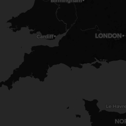
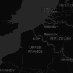
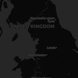

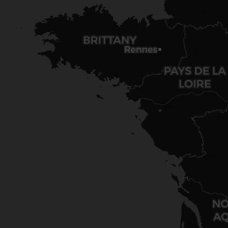
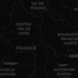




Zones are based on straight-line distance from our operating base in Basingstoke, Hampshire, and shown across local authority districts within roughly 50 miles (cyan) and 70 miles (amber). Coverage is available on mainland Great Britain only; no coverage is available over the sea, Northern Ireland, or outside the UK. Deployment is always subject to operational availability, weather, airspace permissions and site access. Contact us or use our coverage checker below to confirm coverage for your exact location.
Where We Deploy
Coverage Zones and Response Times
Search and rescue work is time-critical, so we are specific about where we can realistically deploy. Our coverage is measured by straight-line distance from our operating base in Basingstoke, Hampshire. Find your location below to see what response you can expect.
Not sure which zone you are in? Call 0330 401 1227 and we will tell you straight away.
Deployment times may vary due to resource availability at the time of call. We endeavour to see to all incidents as quickly and safely as possible.
Check Your Location
Are You in Our Coverage Area?
Enter your town or postcode to see which zone you fall into and what response you can expect.
Not sure which zone you are in? Call 0330 401 1227 and we will tell you straight away.
Clients & Partners
Who Calls Airframe
FARMERS & LANDOWNERS
Livestock go missing across large properties on a regular basis. Whether it is cattle through a broken fence, sheep in dense cover, or pigs that have found a way out, we provide fast aerial search coverage across your land — reaching areas quickly that ground teams would take hours to walk.
PET OWNERS & FAMILIES
When a much-loved pet goes missing, we can provide thermal search support in urban, suburban, and rural environments — covering ground in hours that a physical search might take days to cover. Our pilots work methodically and keep you informed throughout.
WILDLIFE PARKS & ZOOS
When a non-dangerous animal goes missing from a wildlife park, zoo, aviary, or private collection, we provide discreet aerial search support to help locate it quickly. We work directly with your team, keep operations low-profile, and give you the best possible chance of recovery before the situation develops further.
WILDLIFE CHARITIES & CONSERVATION
From species surveys and habitat assessments to monitoring protected populations across large land areas, we provide aerial data collection in support of your conservation goals. Planned operations, regular monitoring schedules, and imagery delivered directly to your team.
RESCUE ORGANISATIONS & VETS
We work alongside animal rescue services, veterinary teams, and wildlife hospitals to locate injured or distressed animals — providing precise GPS coordinates and aerial observation to support safe recovery. Available to coordinate directly with your team in the field.
ESTATE MANAGERS & RURAL PROPERTIES
For large rural estates with diverse wildlife, livestock, and boundary management requirements, we provide both emergency search support and planned monitoring programmes. A single operator relationship covering multiple use cases across your land.
Our Capability
EQUIPPED FORTHE SEARCH.
We operate the DJI Matrice 4T, a professional grade thermal and RGB dual sensor drone with the detection capability to locate animals that conventional methods miss. Combined with CAA certified pilots, comprehensive commercial insurance, and clearly defined coverage zones across southern and central England, Airframe provides a credible, deployable capability that performs when it matters most.
Dual thermal and RGB sensor. Detects animal heat signatures through cover and in complete darkness at commercial operating altitudes.
All our pilots are CAA certified for commercial operations. We adhere strictly to UK airspace laws and regulations on every deployment we undertake.
Commercial drone liability insurance in place for all deployments. Documentation available on request.
Emergency requests are assessed and responded to as quickly as operationally possible. Contact us at any time.
Same-day deployment within two hours' drive of Basingstoke, and next-day deployment across our extended zone. Remote and rural locations inside these zones are fully supported.
See our coverage zones
Thermal Detection
120M
Operational altitude gives our pilots visibility across large search zones that ground teams cannot efficiently cover on foot.

Day or Night
Thermal does not rely on visible light. We are as effective at 2am as we are at midday.
All operations conducted in full compliance with CAA night flying regulations.
Common Questions
What to Expect
Get In Touch
Contact Us Now
Whether you have an animal missing right now or want to discuss a planned monitoring programme, contact us and we will respond as quickly as possible. For urgent situations, call us directly. For planned work and general enquiries, use the form and we will be in touch promptly. Please include your postcode so we can confirm your coverage zone immediately.
If your animal is missing right now, please call us rather than using the form. The quicker we can speak with you, the faster we can mobilise. We deploy within approximately three hours of Basingstoke, so please have your postcode ready.